.
Explore Bradford on Avon:
Conigre Hill and Huntingdon Street
Bradford on Avon, Wiltshire
.
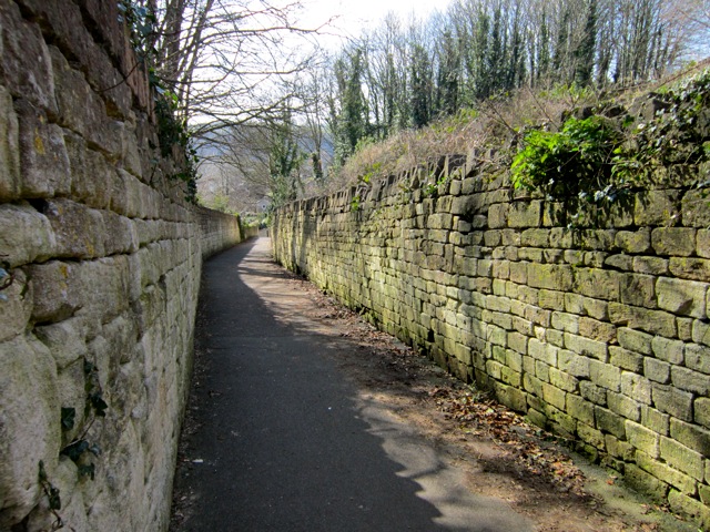
Conigre Hill is part of an ancient line of paths and roads that leads from Church Street via Rosemary Lane to Huntingdon Street and across the fields to Monkton Farleigh and beyond. Conigre is the Wessex word for rabbit warren and there are several localities in Bradford that include the name. The road, now traffic-free, is of the sort that is enclosed by high stone walls and locally called a drung.
A feature of this route is that, as it ascends the hill to the north, ranks of houses lead off at right angles to follow the contour line: Newtown, Middle Rank, Tory, Winsley Road, Huntingdon Terrace, Bearfield Buildings and Ashley Road. They face towards the south and usually have a footpath at the front, with small gardens on the other side.
Click on the thumbnail pictures for a bigger view
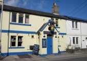 Winsley Road, part of the Bradford Turnpike system, crosses the top end of Conigre Hill. A rank of houses of the garden-path-house pattern is on the left, with the later road at the rear. To the right, a rank of houses built after the road includes The Rising Sun public house and later houses beyond.
.
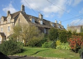 Huntingdon Street begins on the other side of Winsley Road, with a new road lined with modern bungalows called Huntingdon Rises leading off to the left. The left side of the street begins with a rank of houses of the late 17th/early 18th centuries and then a solitary Georgian house that could have been the beginning of a garden-path-house row that didn’t come about.
.
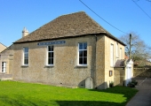 On the right a footpath leads to the back doors of Huntingdon Terrace, with Bearfield Church on the northern side. This is a Congregational chapel that was for a while a member of the Calvinistic-Methodist Countess of Huntingdon’s Connexion. It is almost square with an almost pyramidal roof of stone tiles. On the north side is a small residence and on the east is its schoolroom.The street takes its name from the Countess, although it had existed before, as Bearfield.
.
A house and a short row of small houses called Providence, to the north of the chapel were demolished in the 1960s to create the entrance to Church Acre, a new housing estate.
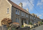 The upper part of Huntingdon Street is lined by a terrace of houses of various dates. The nearest are late 19th century, followed by two gables of the late 17th century (now one house), then 18th century houses, one of which is dated 1774. There is one large Georgian house on the opposite side.
.
.
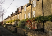 Near the end of Huntingdon Street, Bearfield Buildings, a terrace of houses of late eighteenth and early nineteenth century dates, goes off at a right angle to the right. Included in the terrace is the former Providence Baptist Chapel of 1858, which is now two houses.
.
.
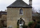 Facing Bearfield Buildings is the Round House, a cylindrical building under a conical roof. This would originally have been a stove house which was used for drying woollen cloths that had been woven in the houses nearby around a central fire. It is now part of a house.
.
The top of Huntingdon Street is crossed by Ashley Road, which was built behind Bearfield and behind a short garden-path-house rank on the left. The route continues over the recreation ground that was given by Llewellen Palmer, splitting into two footpaths: one goes on to Cumberwell and Monkton Farleigh and the other to Frankleigh and Maplecroft. Both were demoted to paths after the Bath Turnpike road was made in the 1790s.

